English
 French
 Khmer
Khmer Thai
Thai Vietnamese
 Chinese
 Korean
 German
 Japanese
 Italian
 Russian
 Spanish
 Dutch
Dutch Indonesian
 Malay
MalayPaillon
Paillon
France
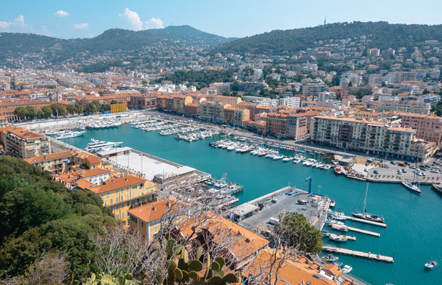
Nice
Nice Travel Guide
Book Tour & Activities
Your tour in Nice.
Book your stay
Your hotel in Nice.
Overview
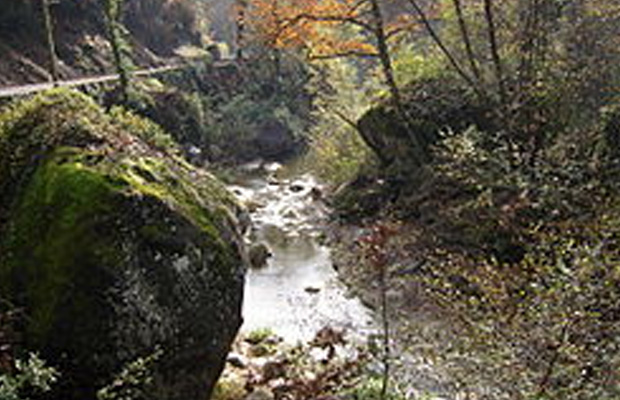
The Paillon is a coastal river of the Alpes-Maritimes that flows into the Mediterranean Sea in Nice, near the old district. It is 35.8 km long. Its drainage basin is 258 km². Its source is north of Lucéram. It flows generally south, through L'Escarène, Peillon, Drap, La Trinité, and finally Nice. The region of the Paillon and the Paillon de Contes is called the pays des Paillons. The river is covered in its last few kilometers in the city of Nice, with the Guillaume Apollinaire High School and the Palais des Congrès Acropolis over the river. It is a typical Mediterranean river, with low water level throughout the year and violent floods during autumn and sometimes during spring.
The Paillon is a coastal river of the Alpes-Maritimes that flows into the Mediterranean Sea in Nice, near the old district. It is 35.8 km long. Its drainage basin is 258 km². Its source is north of Lucéram. It flows generally south, through L'Escarène, Peillon, Drap, La Trinité, and finally Nice. The region of the Paillon and the Paillon de Contes is called the pays des Paillons. The river is covered in its last few kilometers in the city of Nice, with the Guillaume Apollinaire High School and the Palais des Congrès Acropolis over the river. It is a typical Mediterranean river, with low water level throughout the year and violent floods during autumn and sometimes during spring.
Length: 36 km
Source: Mont Auri
Mouth: Mediterranean Sea
Country: France
Mouth elevation: 0
Bridges: Viaduc du paillon


See Paillon on Map
Most Popular Cities

Siem Reap
Cambodia
Ho Chi Minh City
Vietnam
Beijing
China
Paris
France
London
United Kingdom
New York
USA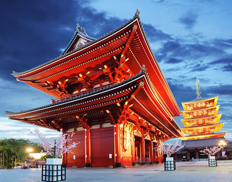
Tokyo
Japan
Bangkok
Thailand
Seoul
South Korea
Vientiane
Laos
Yangon
Myanmar
Washington DC
USA
Los Angeles
USA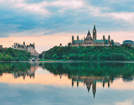
Ottawa
Canada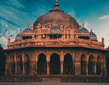
New Delhi
India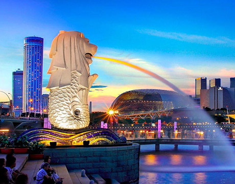
Singapore
Singapore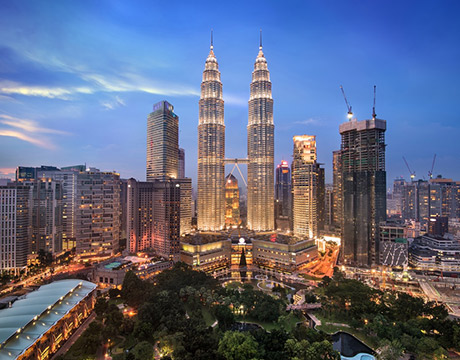
Kuala Lumpur
Malaysia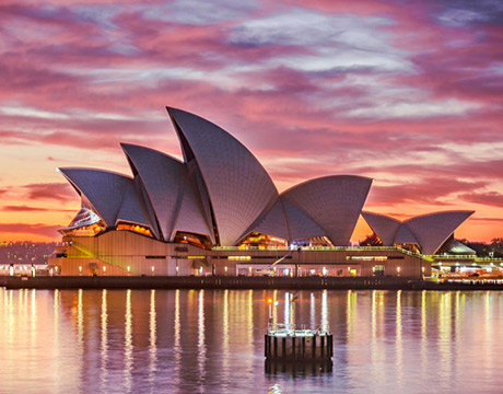
Sydney
AustraliaPartnerships
Our teams up with big names to bring you exclusive promotions