English
 French
 Khmer
Khmer Thai
Thai Vietnamese
 Chinese
 Korean
 German
 Japanese
 Italian
 Russian
 Spanish
 Dutch
Dutch Indonesian
 Malay
MalayTon Nga Chang Waterfall
Ton Nga Chang Waterfall
Thailand
Hat Yai
Hat Yai Travel Guide
Book Tour & Activities
Your tour in Hat Yai.
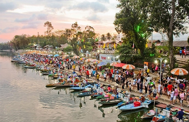
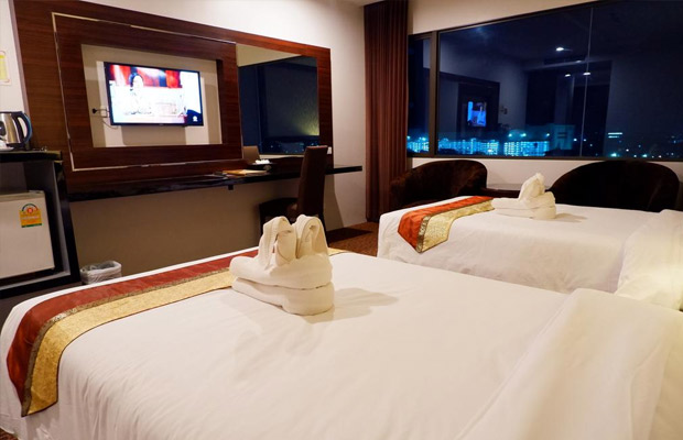
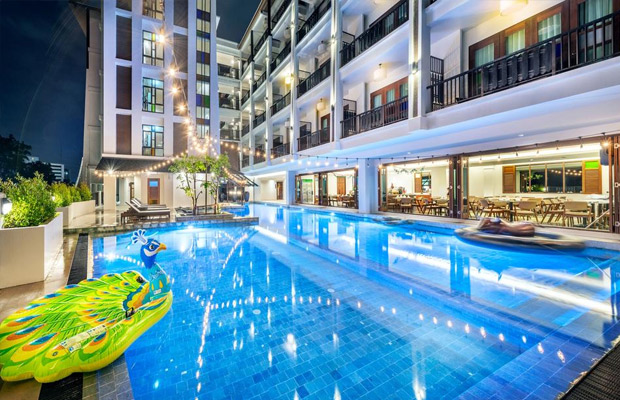
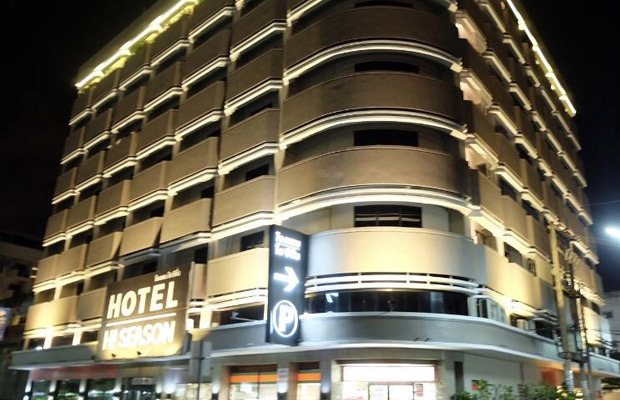
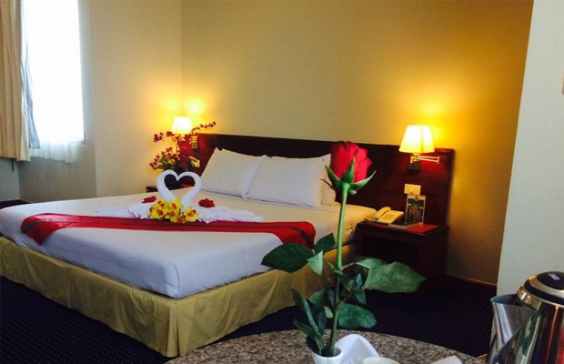
Book your stay
Your hotel in Hat Yai.
Overview
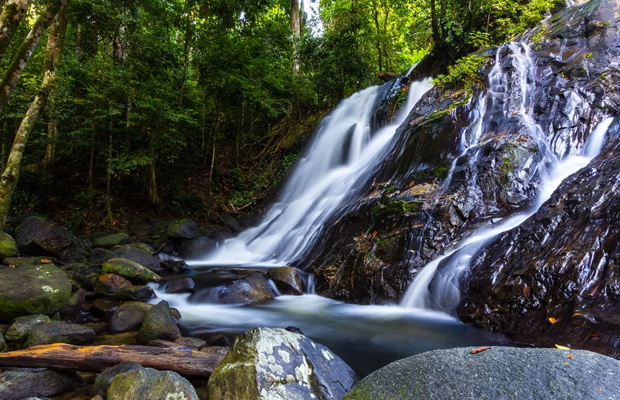
Ranking among Southern Thailand’s most spectacular waterfalls, Ton Nga Chang powers over a series of seven cliffs amid the dense jungle of a wildlife sanctuary. Though many visitors never make it beyond the refreshing lower tiers, adventurers can pause to soak up great views while climbing up steep slopes to the upper falls.
Ranking among Southern Thailand’s most spectacular waterfalls, Ton Nga Chang powers over a series of seven cliffs amid the dense jungle of a wildlife sanctuary. Though many visitors never make it beyond the refreshing lower tiers, adventurers can pause to soak up great views while climbing up steep slopes to the upper falls.
Travelfish says:
If flying into Hat Yai from the north you’ll get a broad view over Ton Nga Chang Wildlife Sanctuary, a mass of jungle-draped mountains that source the waterfall. Plastic bottles are not allowed up the trail so we were glad to have brought a reusable bottle, which we refilled at one of the food stalls in the car park.
At the first tier we found quite a few locals lounging in the shade of banyan trees and munching on som tam and grilled chicken. Not far from the car park, a small beach meets a clear, shallow pool where kids joined fish beside stripes of whitewater bubbling over the rocks. The water is clear and cool, even if you don’t get the travertine colours found at waterfalls like Than Bok Khorani or Erawan.
An easy 15-minute walk up the trail took us to the far more dramatic second tier with water cascading over a vast rocky slope. A couple chilled under a tree at the foot of the cliff as an old man gazed at the falls from a bridge spanning the stream. Some visitors never make it beyond this point, but the third tier is worth the climb.
Ton Nga Chang means “Waterfall like Elephant Tusks,” a name that comes from two distinct sections of water that thunder down at the third tier. The falls here are stunning, though we had trouble tearing our eyes away from the jungle vista when looking east from smooth rocks above the second tier. Just off the trail that cuts further uphill, we sidetracked to a shady perch within a few metres of the angelic water that forms one of the third tier’s “tusks”.
Here we bumped into a few young Thai hikers looking for a way further up the mountain. They gave up after 20 minutes of searching -- and we were ready to do the same when our inner explorer forced us to to scramble up a fairly steep rock face. Pondering whether or not we should keep climbing, we paused to stretch our legs on the rocks and took in the view.
After pulling ourselves up another steep section, we found that the terrain levelled before emerging at a smaller set of falls flowing into a pool framed by jungle. Here at the fourth tier we discovered a narrow trail ascending through dense foliage, and the climb turned out to be less challenging from this point on.
By now it was getting late so we stopped only briefly at the fifth tier, which was similar to the fourth, before traversing more rocks beside a torrent of water that roared through a narrow groove in the stone. A little further and we arrived at the small sixth tier with water plummeting into a shallow pool. Birdsong and the drill of cicadas led a chorus of creatures amid the old-growth forest.
A wide sheet of whitewater spanned another broad cliff at the seventh and final tier -- and we felt accomplished for making it this far. Here we flashed back to a night in Trang, five years earlier, when an expat told us, “You can just keep going up and up.” This apt description of Ton Nga Chang had also included a well-deserved warning to be careful when hitting the upper tiers.
A stumble over the cliffs between the third and fifth tiers could be devastating -- decent shoes are essential. The trail is not marked and we had to bushwhack through forest after briefly losing our way near the sixth tier. The falls will always be within earshot to your left when ascending, making it difficult to get truly lost. The rocks become slippery when wet, explaining why the upper tiers are often closed to visitors during the rainy months from October to December.
The wildlife sanctuary rents out a few simple bungalows near the car park and you’ll also find a couple of tiny resorts on the access road, but few people speak English around here. Expect crowds of locals at the lower tiers on weekends and holidays.
Transport information
Ton Nga Chang Waterfall is located 28 kilometres west of Hat Yai Railway Station and it’s a straightforward trip by car or motorbike. Head west out of the city on Phet Kasem Rd (Route 4) and keep straight on to Route 4287 towards Satun. You’ll then need to bear left on Route 4026, following signs for the waterfall. From this point it’s another six km to a checkpoint, where tickets cost 200 baht for foreign adults and 100 baht for kids. Alternately, you could take a taxi or tuk tuk from Hat Yai for around 600 to 1,000 baht, round trip. Get there early if you hope to reach the upper tiers.
Contact details for Ton Nga Chang Waterfall
Address: 28 km west of Hat Yai train station
Coordinates (for GPS): 100º13'58.4" E, 6º56'48.73" N
See position in Apple or Google Maps: Apple Maps | Google Maps
Video Travel Inspiration


See Ton Nga Chang Waterfall on Map
Book your best stay in Hat Yai


Most Popular Cities

Siem Reap
Cambodia
Ho Chi Minh City
Vietnam
Beijing
China
Paris
France
London
United Kingdom
New York
USA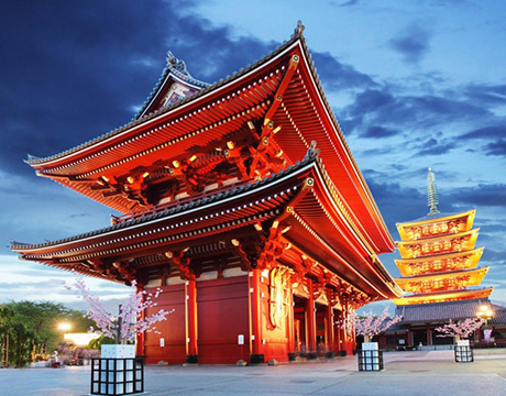
Tokyo
Japan
Bangkok
Thailand
Seoul
South Korea
Vientiane
Laos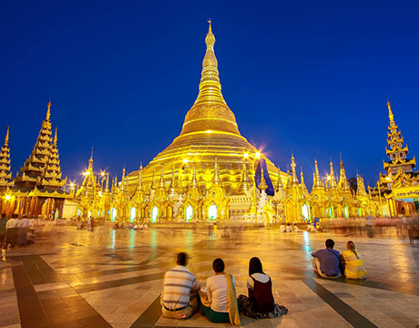
Yangon
Myanmar
Washington DC
USA
Los Angeles
USA
Ottawa
Canada
New Delhi
India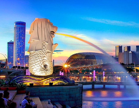
Singapore
Singapore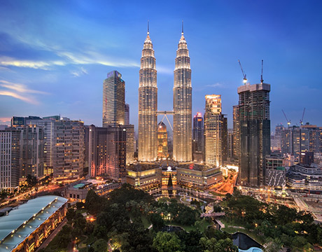
Kuala Lumpur
Malaysia
Sydney
AustraliaPartnerships
Our teams up with big names to bring you exclusive promotions