English
 French
 Khmer
Khmer Thai
Thai Vietnamese
 Chinese
 Korean
 German
 Japanese
 Italian
 Russian
 Spanish
 Dutch
Dutch Indonesian
 Malay
MalayEverglades National Park
Everglades National Park
USA
Florida
Florida Travel Guide
Book Tour & Activities
Your tour in Florida.
Book your stay
Your hotel in Florida.
Overview
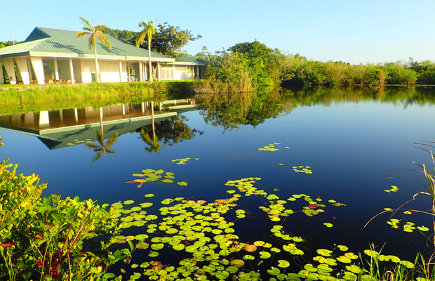
Everglades National Park is an American national park that protects the southern twenty percent of the original Everglades in Florida. The park is the largest tropical wilderness in the United States, and the largest wilderness of any kind east of the Mississippi River. An average of one million people visit the park each year.
Everglades is the third-largest national park in the contiguous United States after Death Valley and Yellowstone. UNESCO declared the Everglades & Dry Tortugas Biosphere Reserve in 1976, and listed the park as a World Heritage Site in 1979, while the Ramsar Convention included the park on its list of Wetlands of International Importance in 1987. Everglades is one of only three locations in the world to appear on all three lists. Most national parks preserve unique geographic features; Everglades National Park was the first created to protect a fragile ecosystem. The Everglades are a network of wetlands and forests fed by a river flowing 0.25 miles per day out of Lake Okeechobee, southwest into Florida Bay.
Geography
Everglades National Park covers 1,508,976 acres (2,357.8 sq mi; 6,106.6 km2), throughout Dade, Monroe, and Collier counties in Florida, at the southern tip of the Atlantic coastal plain.[2] The elevation typically ranges from 0 to 8 feet (2.4 m) above sea level, but a Calusa-built shell mound on the Gulf Coast rises 20 feet (6.1 m) above sea level.
Geology
The terrain of South Florida is relatively and consistently flat. The limestone that underlies the Everglades is integral to the diverse ecosystems within the park. Florida was once part of the African portion of the supercontinent Gondwana. After it separated, conditions allowed a shallow marine environment to deposit calcium carbonate in sand, shells, and coral to be converted into limestone. Tiny bits of shell, sand, and bryozoans compressed over multiple layers forming structures in the limestone called ooids, which created permeable conditions that hold water.
The Florida peninsula appeared above sea level between 100,000 and 150,000 years ago. As sea levels rose at the end of the Wisconsin ice age, the water table appeared closer to land. Lake Okeechobee began to flood, and convection thunderstorms were created.[13] Vast peat deposits south of Lake Okeechobee indicate that regular flooding had occurred about 5,000 years ago. Plants began to migrate, subtropical ones from the northern part of Florida, and tropicals carried as seeds by birds from islands in the Caribbean.[14] The limestone shelf appears to be flat, but there are slight rises—called pinnacles—and depressions caused by the erosion of limestone by the acidic properties of the water. The amount of time throughout the year that water is present in a location in the Everglades determines the type of soil, of which there only two in the Everglades: peat, created by many years of decomposing plant matter, and marl, the result of dried periphyton, or chunks of algae and microorganisms that create a grayish mud. Portions of the Everglades that remain flooded for more than nine months out of the year are usually covered by peat. Areas that are flooded six months or less are covered by marl. Plant communities are determined by the type of soil and amount of water present.
Address: Florida, United States
Departments: Flamingo Visitor Center · Shark Valley Visitor Center
Established: December 6, 1947
Visitors: 597,124 (in 2018)
Video Travel Inspiration


See Everglades National Park on Map
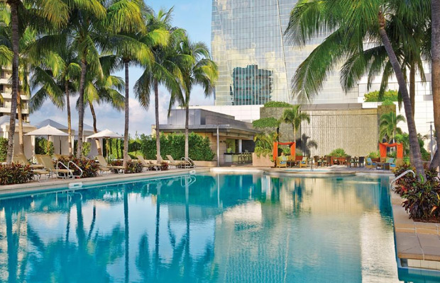
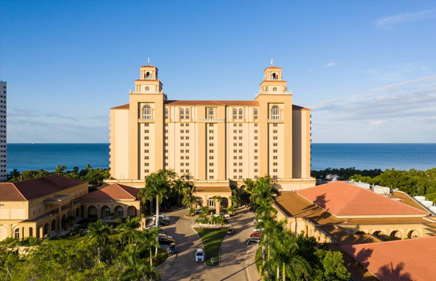
Book your best stay in Florida


Most Popular Cities

Siem Reap
Cambodia
Ho Chi Minh City
Vietnam
Beijing
China
Paris
France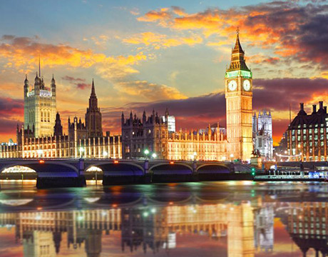
London
United Kingdom
New York
USA
Tokyo
Japan
Bangkok
Thailand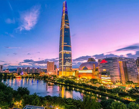
Seoul
South Korea
Vientiane
Laos
Yangon
Myanmar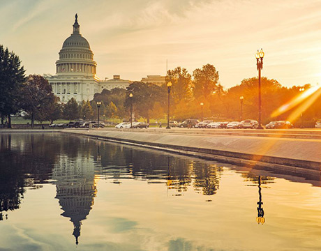
Washington DC
USA
Los Angeles
USA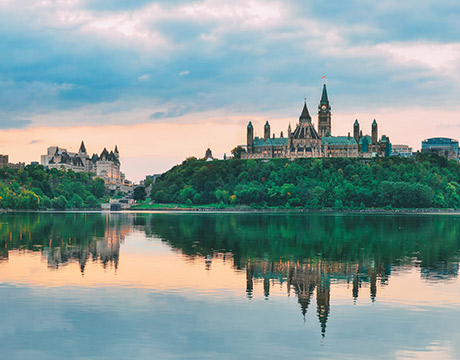
Ottawa
Canada
New Delhi
India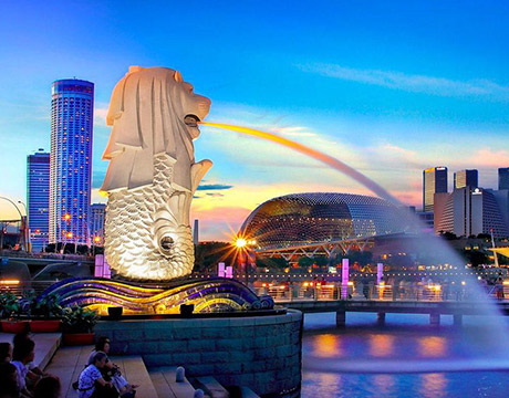
Singapore
Singapore
Kuala Lumpur
Malaysia
Sydney
AustraliaPartnerships
Our teams up with big names to bring you exclusive promotions