English
 French
 Khmer
Khmer Thai
Thai Vietnamese
 Chinese
 Korean
 German
 Japanese
 Italian
 Russian
 Spanish
 Dutch
Dutch Indonesian
 Malay
MalaySunset Boulevard
Sunset Boulevard
USA
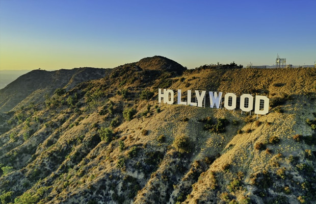
Los Angeles
Los Angeles Travel Guide
Book Tour & Activities
Your tour in Los Angeles.
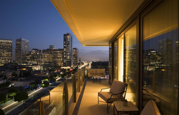
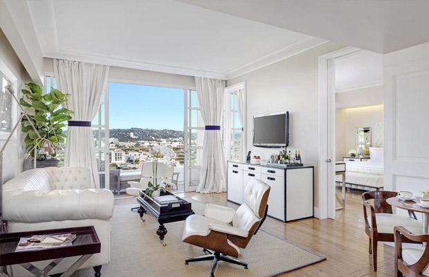
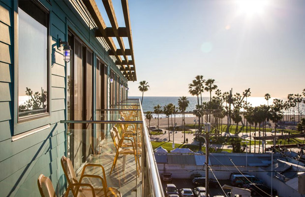
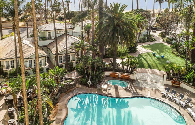
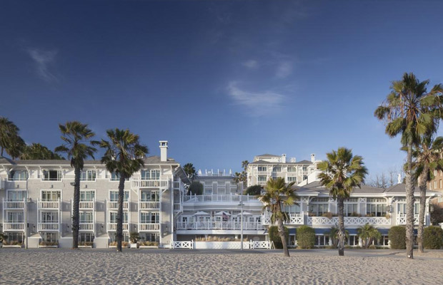
Book your stay
Your hotel in Los Angeles.
Overview
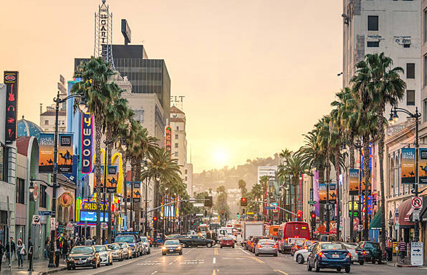
Sunset Boulevard is a boulevard in the central and western part of Los Angeles, California that stretches from the Pacific Coast Highway in Pacific Palisades east to Figueroa Street in Downtown Los Angeles. It is a major thoroughfare in the cities of Beverly Hills and West Hollywood, as well as several districts in Los Angeles.
Sunset Boulevard is a boulevard in the central and western part of Los Angeles, California that stretches from the Pacific Coast Highway in Pacific Palisades east to Figueroa Street in Downtown Los Angeles. It is a major thoroughfare in the cities of Beverly Hills and West Hollywood, as well as several districts in Los Angeles.
Geography
Approximately 22 miles (35 km) in length,[1] the boulevard roughly traces the arc of mountains that form part of the northern boundary of the Los Angeles Basin, following the path of a 1780s cattle trail from the Pueblo de Los Angeles to the ocean.[2]
From Downtown Los Angeles, the boulevard heads northwest, to Hollywood, through which it travels due west for several miles before it bends southwest towards the ocean. It passes through or near Echo Park, Silver Lake, Los Feliz, Hollywood, West Hollywood, Beverly Hills, and Holmby Hills. In Bel-Air, Sunset Boulevard runs along the northern boundary of UCLA's Westwood campus. The boulevard continues through Brentwood to Pacific Palisades, where it terminates at the Pacific Coast Highway intersection.
The boulevard has curvaceous winding stretches, and can be treacherous for unalert drivers in some sections. Sunset Boulevard is at least four lanes wide along its entire route. Sunset is frequently congested with traffic loads beyond its design capacity.
Sunset Boulevard historically extended farther east than it does now, starting at Alameda Street near Union Station and beside Olvera Street in the historic section of Downtown. The portion of Sunset Boulevard east of Figueroa Street was renamed Cesar Chavez Avenue[1] in 1994, along with Macy Street and Brooklyn Avenue, in honor of the late Mexican-American union leader and civil rights activist.
Length: 35 km
Location: Los Angeles, California; Beverly Hills, California; West Hollywood, California
West end: SR 1 (Pacific Coast Highway) in Pacific Palisades
East end: SR 110/Figueroa Street in Downtown Los Angeles
Nearest metro station: Vermont/Sunset station
Major cities: Los Angeles, West Hollywood, Beverly Hills
Video Travel Inspiration


See Sunset Boulevard on Map
Book your best stay in Los Angeles


Most Popular Cities

Siem Reap
Cambodia
Ho Chi Minh City
Vietnam
Beijing
China
Paris
France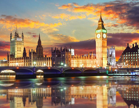
London
United Kingdom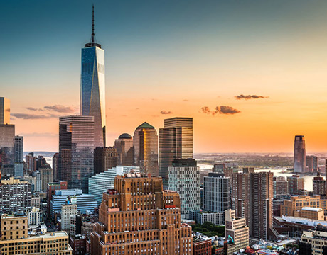
New York
USA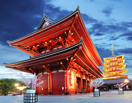
Tokyo
Japan
Bangkok
Thailand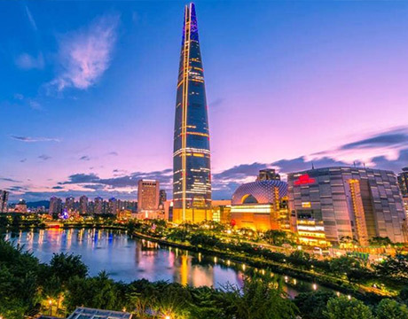
Seoul
South Korea
Vientiane
Laos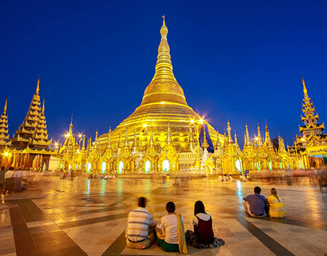
Yangon
Myanmar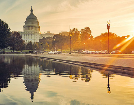
Washington DC
USA
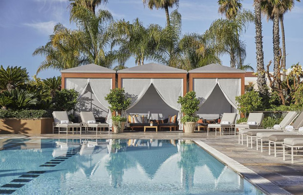
Los Angeles
USA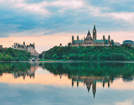
Ottawa
Canada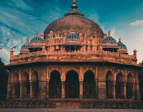
New Delhi
India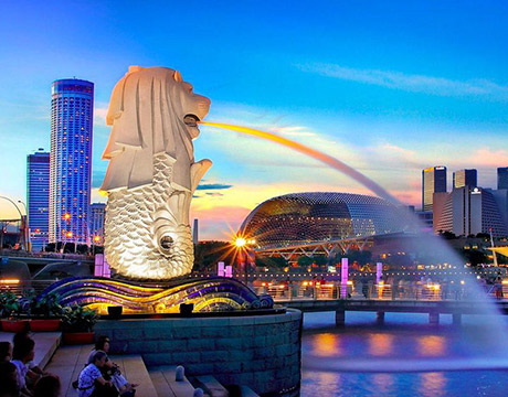
Singapore
Singapore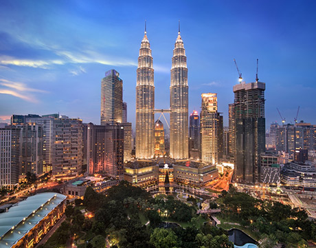
Kuala Lumpur
Malaysia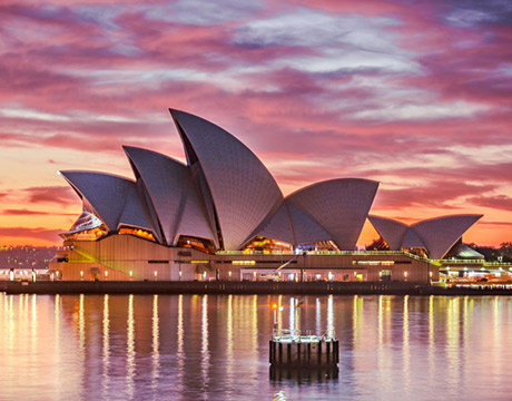
Sydney
AustraliaPartnerships
Our teams up with big names to bring you exclusive promotions