English
 French
 Khmer
Khmer Thai
Thai Vietnamese
 Chinese
 Korean
 German
 Japanese
 Italian
 Russian
 Spanish
 Dutch
Dutch Indonesian
 Malay
MalayTallebudgera Creek

Tallebudgera Creek
Australia
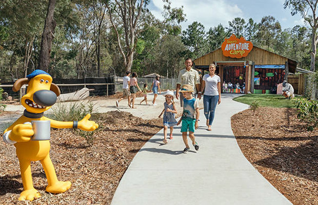
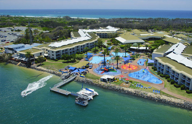
Gold Coast
Gold Coast Travel Guide
Book Tour & Activities
Your tour in Gold Coast.
Book your stay
Your hotel in Gold Coast.
Overview
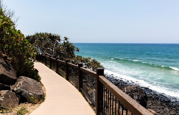
The Tallebudgera Creek is a creek located in South East Queensland, Australia. Its catchment lies within the Gold Coast local government area and covers an area of 98 square kilometres. The river is approximately 25 kilometres in length and is known for good fishing.
The Tallebudgera Creek is a creek located in South East Queensland, Australia. Its catchment lies within the Gold Coast local government area and covers an area of 98 square kilometres. The river is approximately 25 kilometres in length and is known for good fishing.
Course and features
The Tallebudgera Creek rises from the Springbrook Plateau below Burleigh Mountain in the Springbrook National Park near Upper Tallebudgera and north of the New South Wales/Queensland border. The creek flows generally north by east through the Tallebudgera Valley towards Burleigh Heads where it is crossed by the Pacific Motorway and the Gold Coast Highway, before reaching its mouth south of the Burleigh Head National Park and emptying into the Coral Sea. The creek descends 100 metres (330 ft) over its 25-kilometre (16 mi) course.
Tallebudgera Creek is known for good fishing, and its name even translates in an indigenous language to "good fishing". Bream, flathead, whiting and the bull shark are common species that are found in the creek.
As well as the main creek there is an extensive canal system, whose shores boast some of the Gold Coast's best housing.[citation needed] It is one of the Gold Coast's three main canal and creek systems, alongside the slightly smaller Currumbin Creek to the south and the much larger Nerang River to the north.
Dredging is carried out yearly in winter and spring to improve creek water quality and replenish sand on nearby Burleigh Beach.
Length: 25 km
Mouth: Burleigh Head National Park
Source: Springbrook
National park: Springbrook National Park
Region: South East Queensland
Etymology: Aboriginal: good fishing
Video Travel Inspiration


See Tallebudgera Creek on Map
Book your best stay in Gold Coast


Most Popular Cities

Siem Reap
Cambodia
Ho Chi Minh City
Vietnam
Beijing
China
Paris
France
London
United Kingdom
New York
USA
Tokyo
Japan
Bangkok
Thailand
Seoul
South Korea
Vientiane
Laos
Yangon
Myanmar
Washington DC
USA
Los Angeles
USA
Ottawa
Canada
New Delhi
India
Singapore
Singapore
Kuala Lumpur
Malaysia
Sydney
AustraliaPartnerships
Our teams up with big names to bring you exclusive promotions